GeoTeams
GeoTeams is a high-tech scavenger hunt and a great adventure, based on the sport geo-caching, which blends nature and technology. Your students will experience the novelty of learning to use GPS devices and the excitement of locating the caches.
Overview:
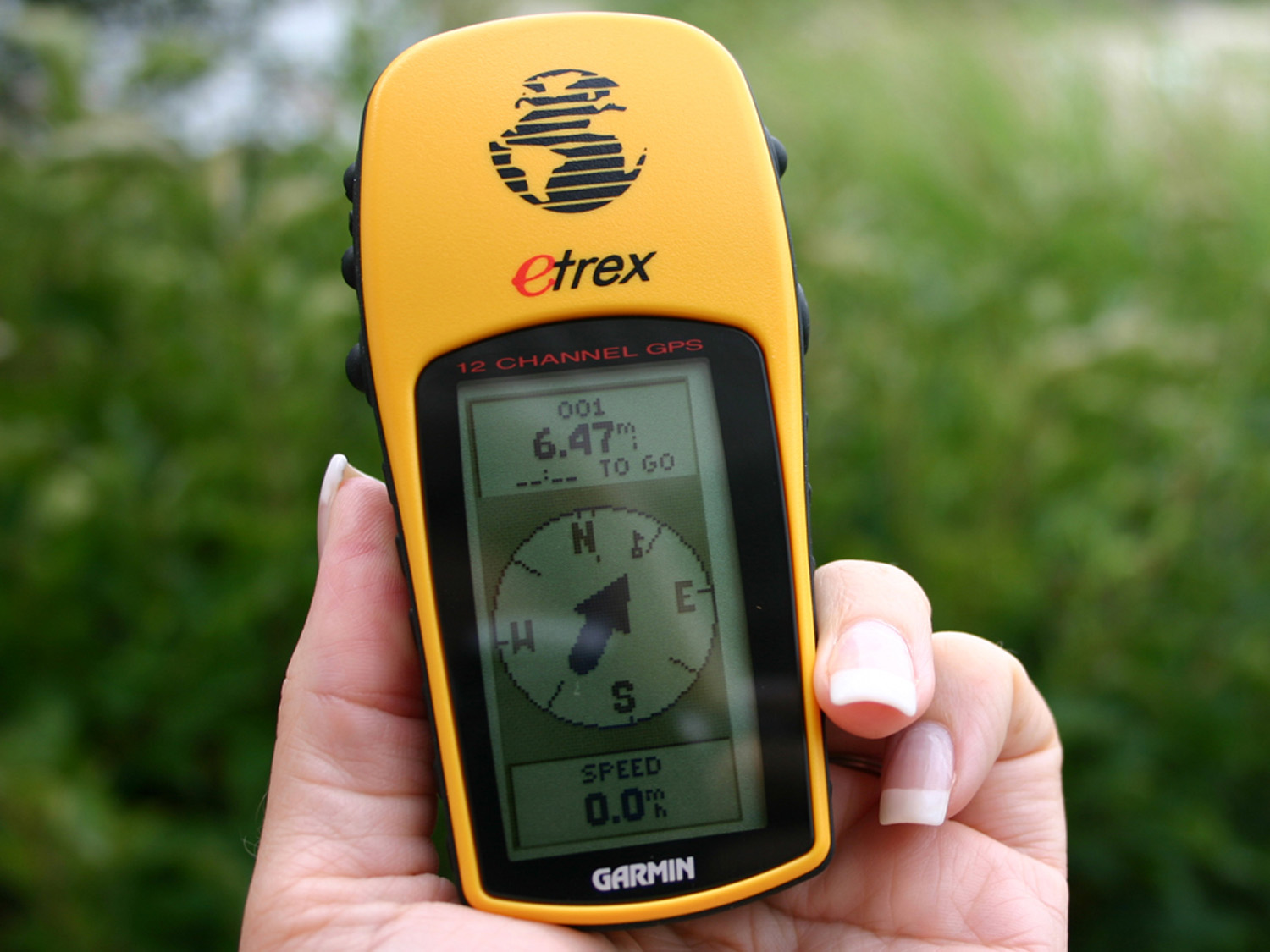
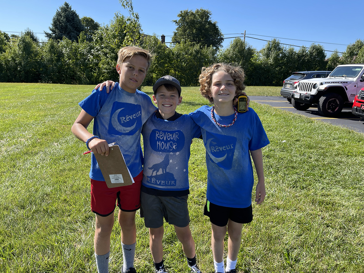
Our caches contain clues to the next cache or instructions for team challenges. Teams of 4 to 6 are given maps or charts, and/ or clues then taught to use GPS (global positioning system) units to determine the approximate location of a secret cache, within 6-20 feet, then fan out for a search.
Lesson
It takes deductive reasoning to determine exactly where the cache may be. Once found, the team uses the unit to navigate from their current location to another location.
Students will reconvene to discuss what they learned from their experiences during the GeoTeams program.
- How well did team members learn then teach each other new skills?
- How did they deal with frustration?
- What types of leadership surfaced during the day?
- How did they handle their roles and responsibilities?
Curriculum Focus
We begin by giving instruction on how to enter coordinates into their GPS unit, how to navigate, and then familiarize them with the waypoints provided. Participants break into small groups to practice using a GPS, and then set goals about how they will work together throughout the treasure hunt.
Teams then receive their course and supplies, then work interdependently to follow the clues and discover caches hidden throughout the designated area. Together they learn that teams often have to “chart new territory” whether in a natural or work environment.